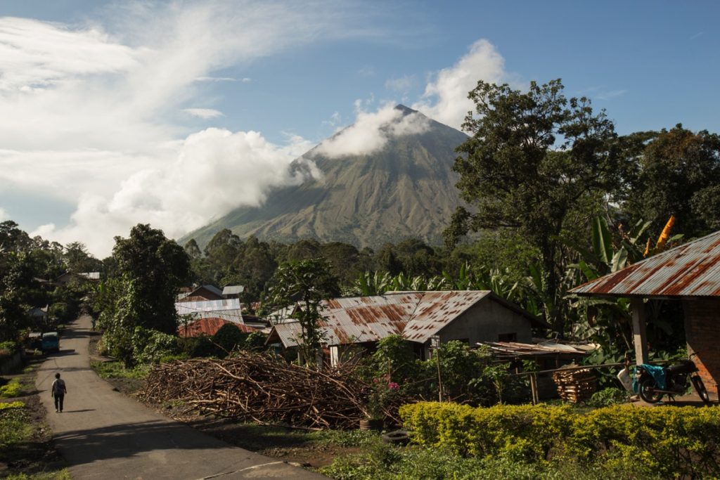
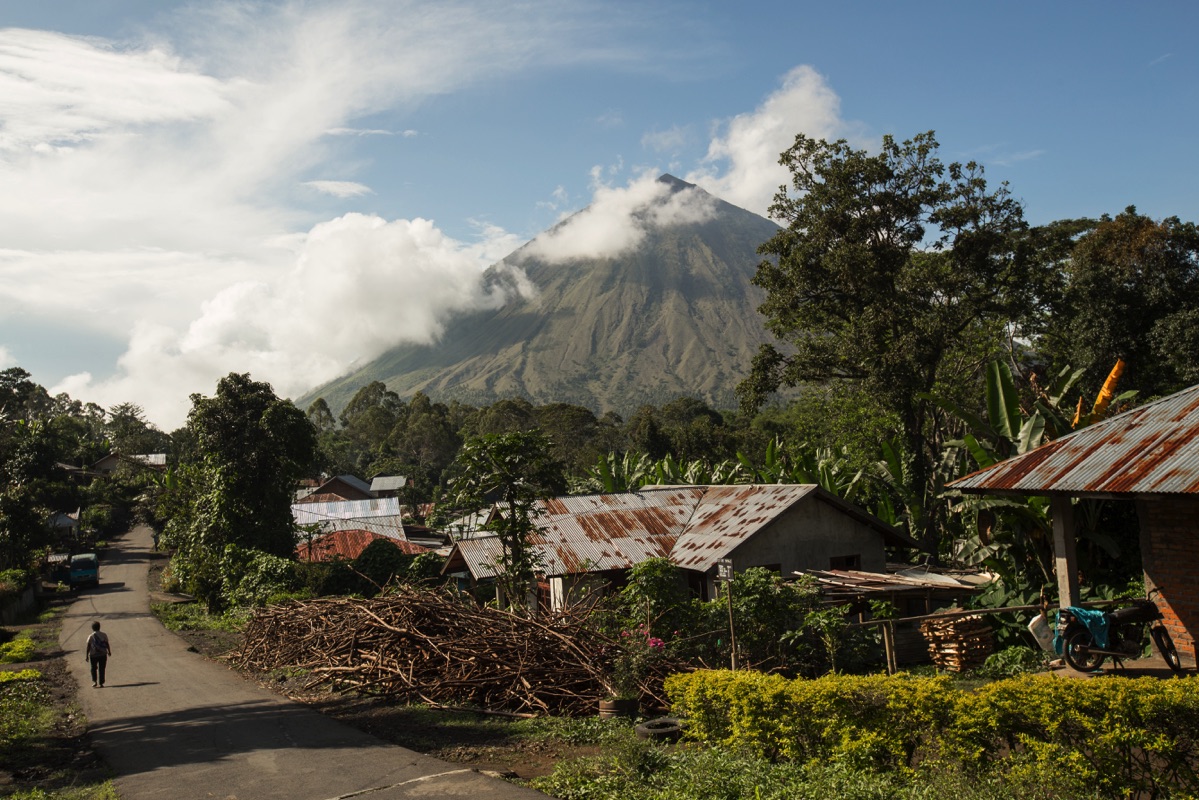
The slightly higher than 2,200m volcano can be seen from all over the Ngada regency on a clear day. It erupted for the last time in 1970. It’s a nice and rather easy hike starting between Bena and Bajawa.
Preparation
Like most of Indonesian mountains, Mount Inerie is most of the time covered by clouds from the mid-morning. If you want to enjoy the view, it’s better to start hiking at dawn.
The trail start in the village of Watumeze (go check the map in the Bajawa article to get the location). Local guide can be hired directly here but given the trail is straightforward I don’t see the point unless you are not confident enough to go on your own.
Given the time you want to be there, public transports won’t be available. So you will need your own wheels or arrange an ojek with someone in Bajawa. Locals are very nice and will tell you where to park your motorbike. I was even offered tea when I reached back the village after the hike.
As a matter of safety, load up the GPS track of the trail from Gunung Bagging. You don’t really need it on your way up but weather can get really foggy on the way down from mid-morning. The GPS track will prevent you to get off the trail and end up in the forest if the visibility gets too bad.
3 liters of water were more than enough for me but I don’t drink much. Starting early will keep you away from the morning sun for the first part of the hike.
The trail start
You reach Watumeze by taking the same road leading to Bena from Bajawa. Once you have entered the village (there is no sign so check the GPS location I indicated) the main road soon makes a turn to the left while a dirt road continues straight.
Take the dirt road (I parked my motorbike on the side) for 30 meters. You have a trail on your right passing between two houses, take it. Continue a little bit further and you will see a kind of wooden cabin on your left. Turn left immediately after the cabin: this is the trail to the summit.
The hike
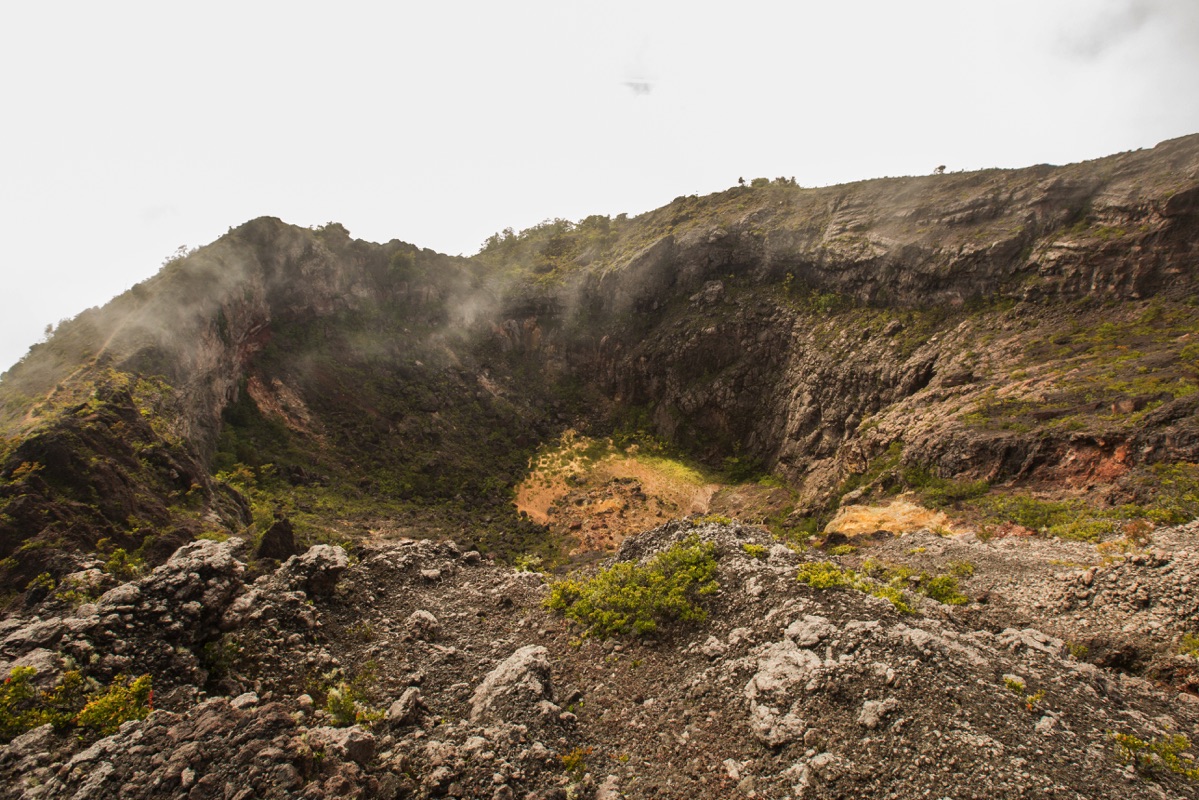
I started hiking at 5:30AM and reached the rim after 2 hours. The first part of the hike is very easy, the second a bit harder because of the loose ground.

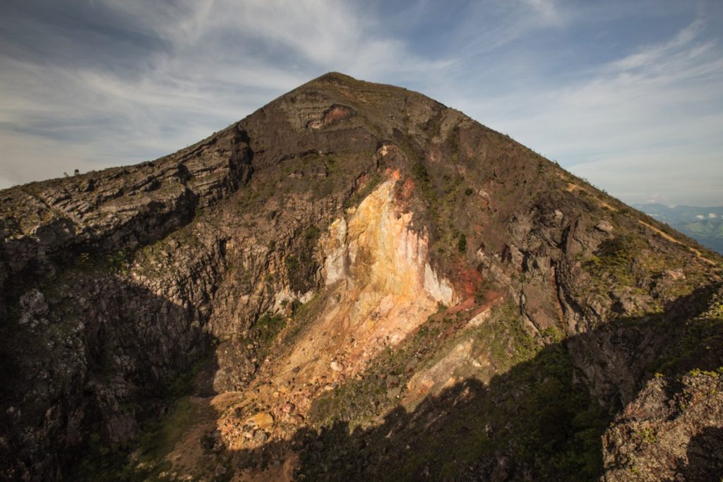
From the rim, it’s another 20 minutes to the summit.

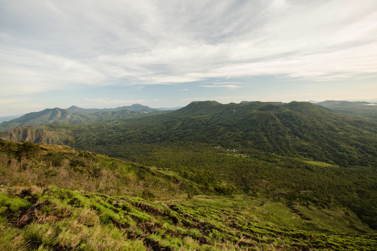
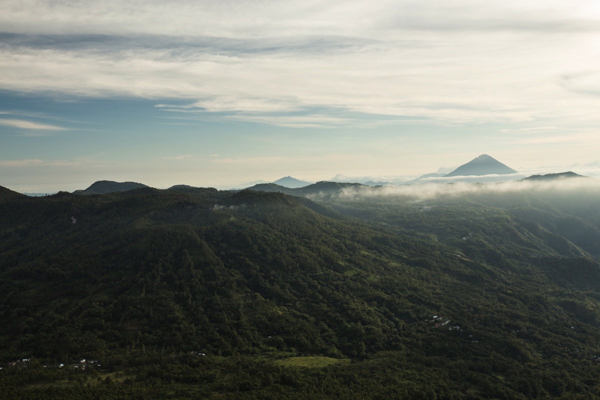
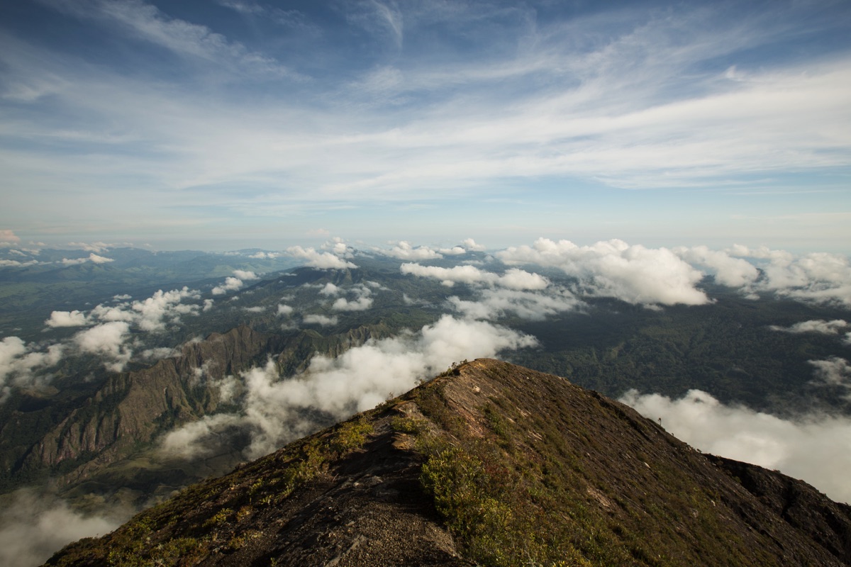
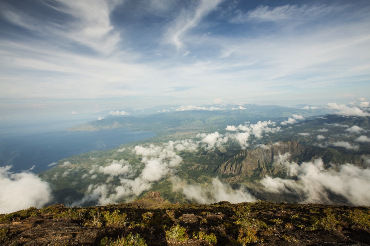
I think I should have started hiking 1 hour early because when I reached the summit, there was already a significant amount of clouds around. At dawn, you can see very far towards eastern Flores and spot many different moutains
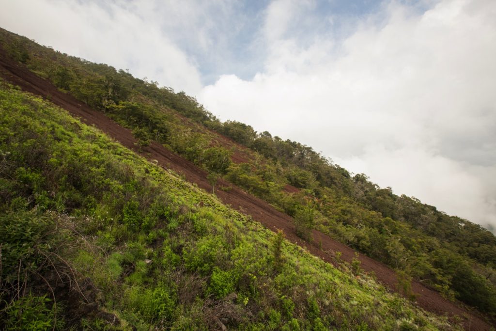
The descent is easier. It took me 2h15 minutes to get back to Watumeze from the summit. Beware of not getting off the trail if it gets foggy. There is a long section of red scree than you can surf down on your left.
All the articles about Flores

Hiking Gunung Inerie Independently
Bajawa : Great Sceneries, Traditional Villages and Iniere Volcano
The Complete Guide to Flores Island
Ruteng : Wae Rebo and the Surrounding Countryside
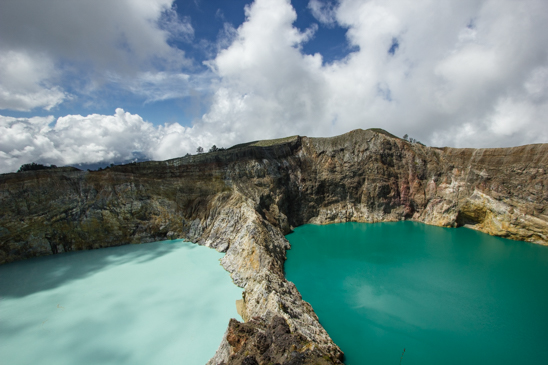
Kelimutu 3 Colors Lakes
Leave a Reply